
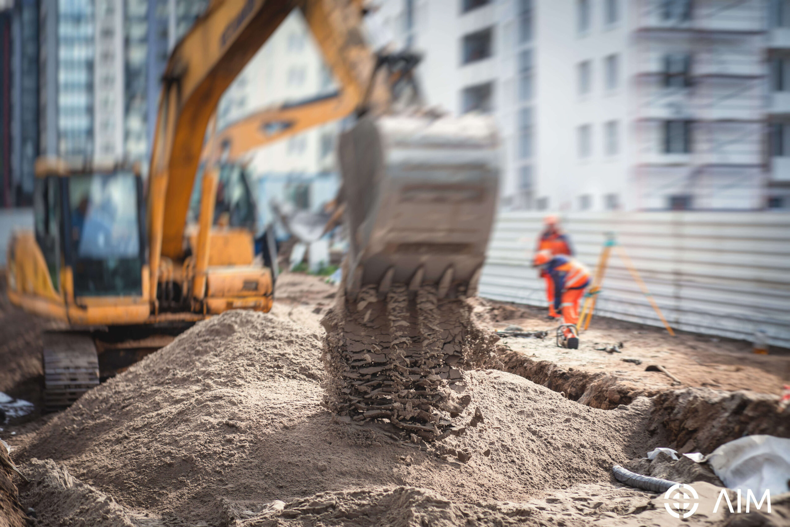


Groundworks
Excavation Site Clearance Foundations Building Substructure Retaining Structures Temporary Access Roads

Road Surfacing
Drop Kerbs / Driveways / Roadworks / Trench Reinstatement

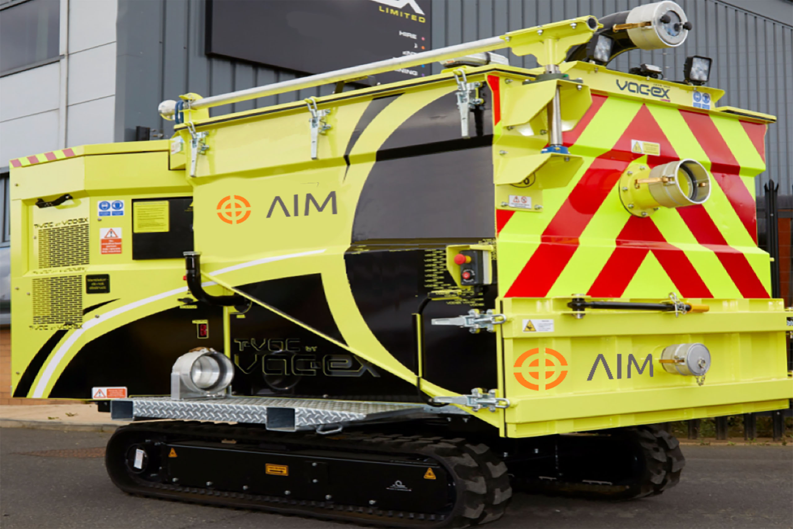
Multi-Utility Services
Ducting / Trenching Telecom / Connections Vacuum Excavation

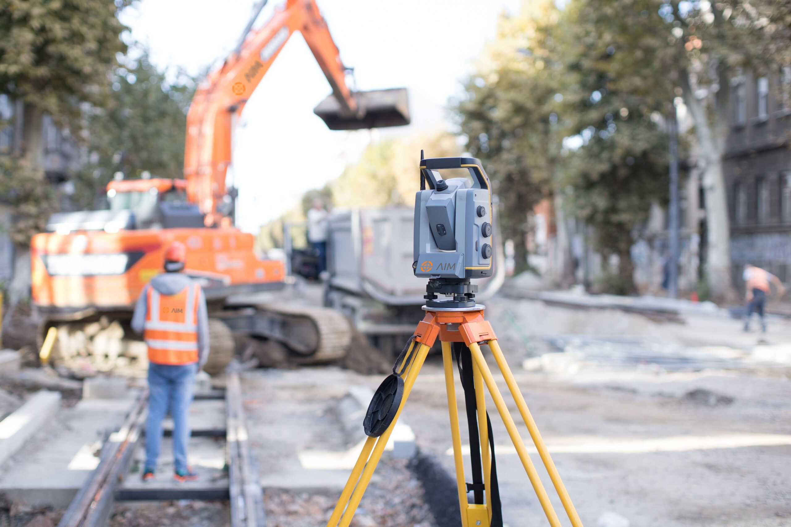
Utility Surveys
GPR Survey Topographical Mapping

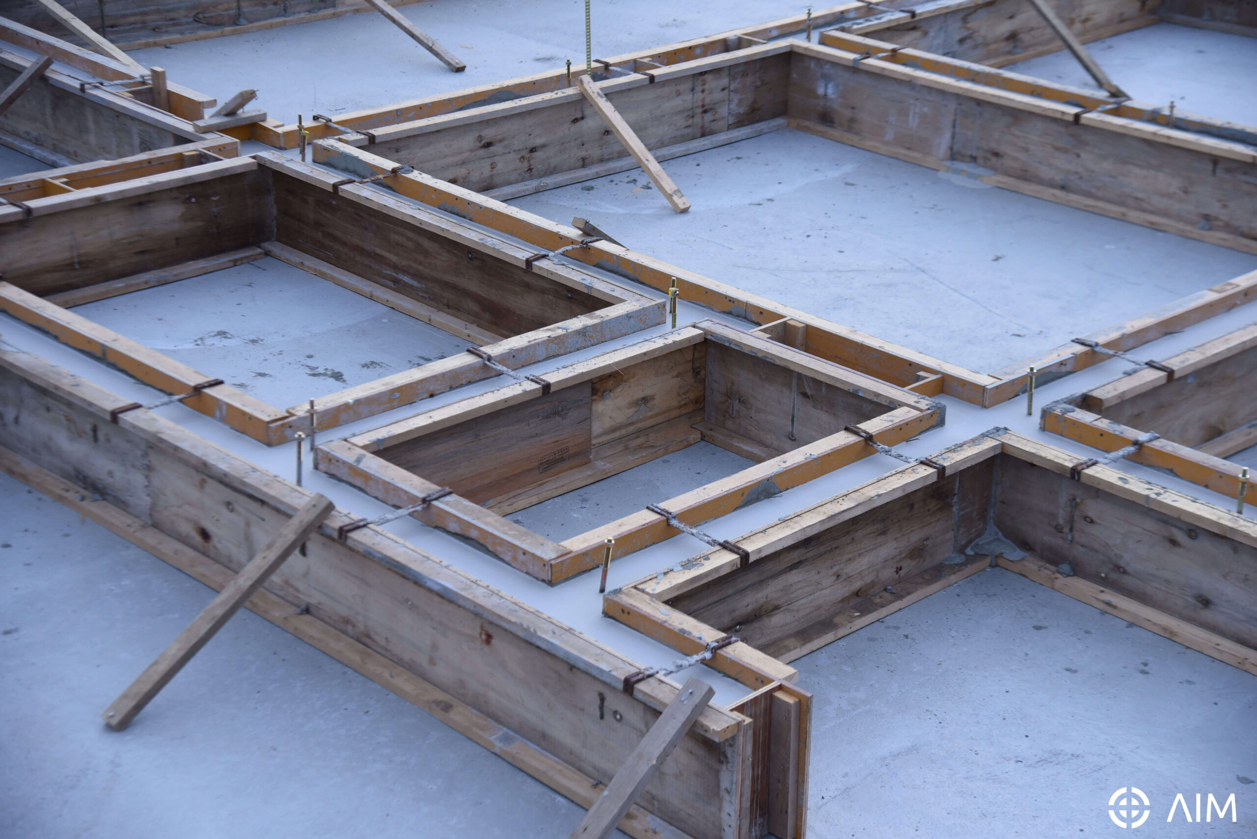
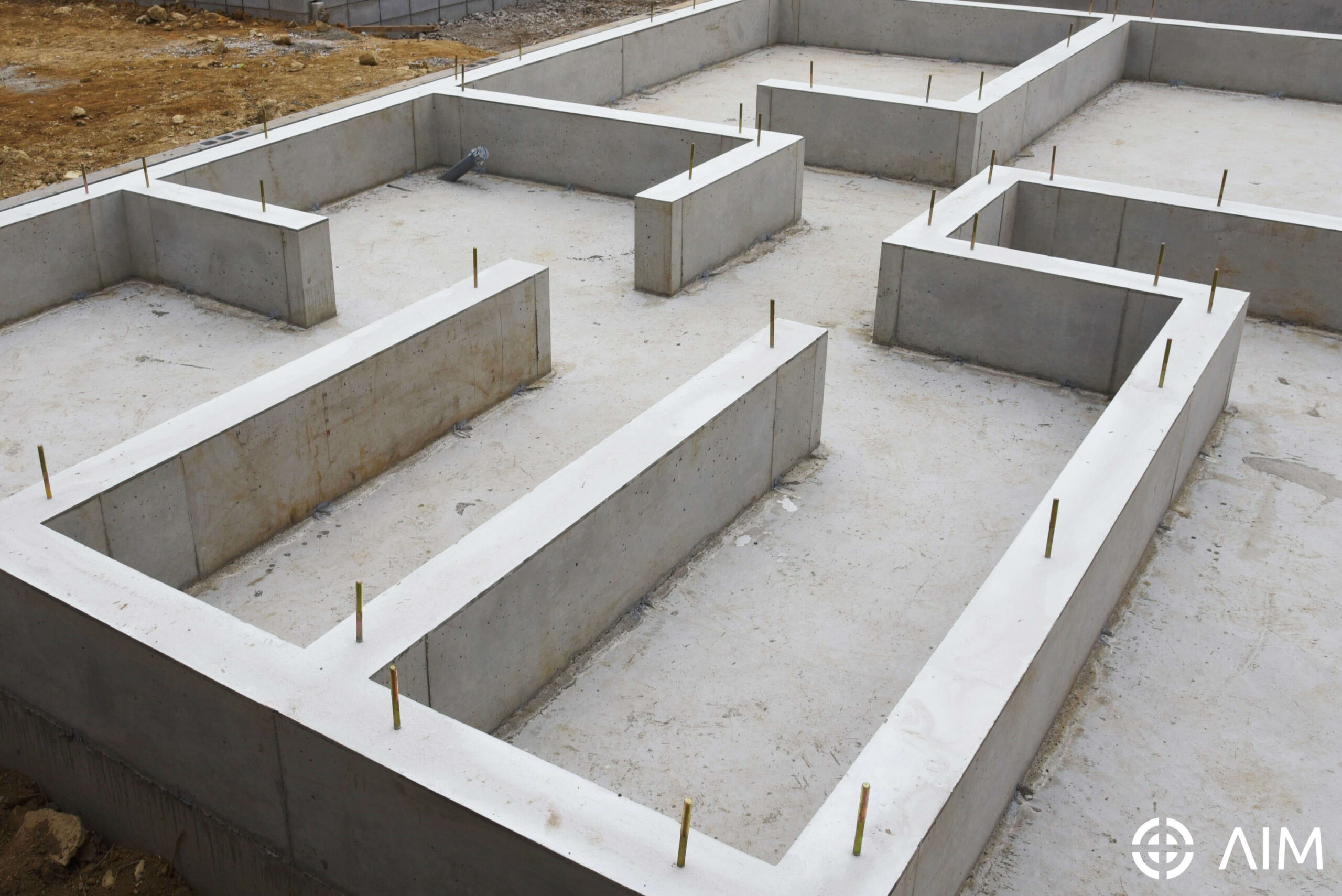
Concrete Works
Concrete Floor Slabs Concrete Bases Foundations

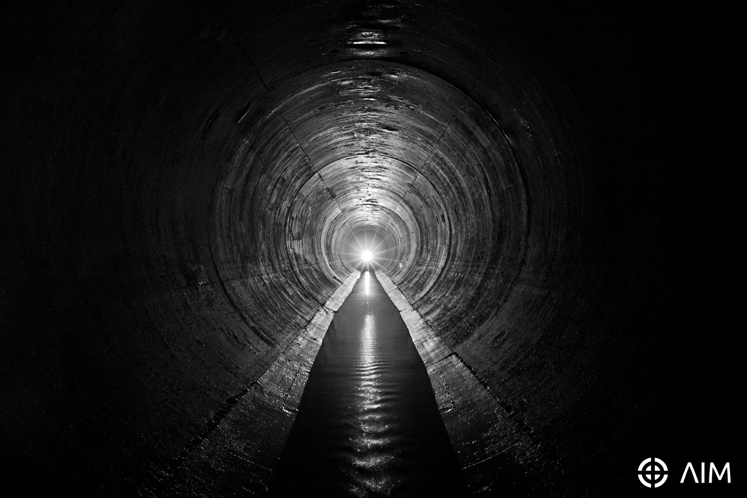
Sewers - Install/Repair/ CCTVSurvey
CCTV Condition Survey Sonde Mapping Patch Lining

Substructure
Foundations | Footings / Floor Slabs

Water Services
Water feed installation Connections

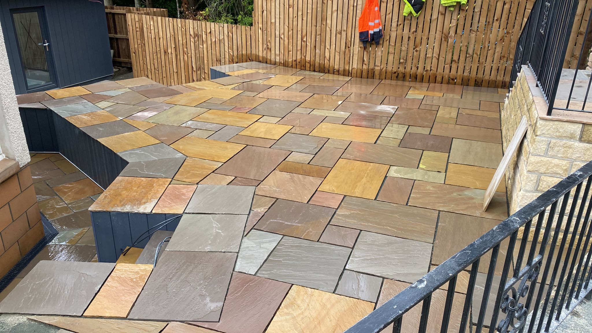
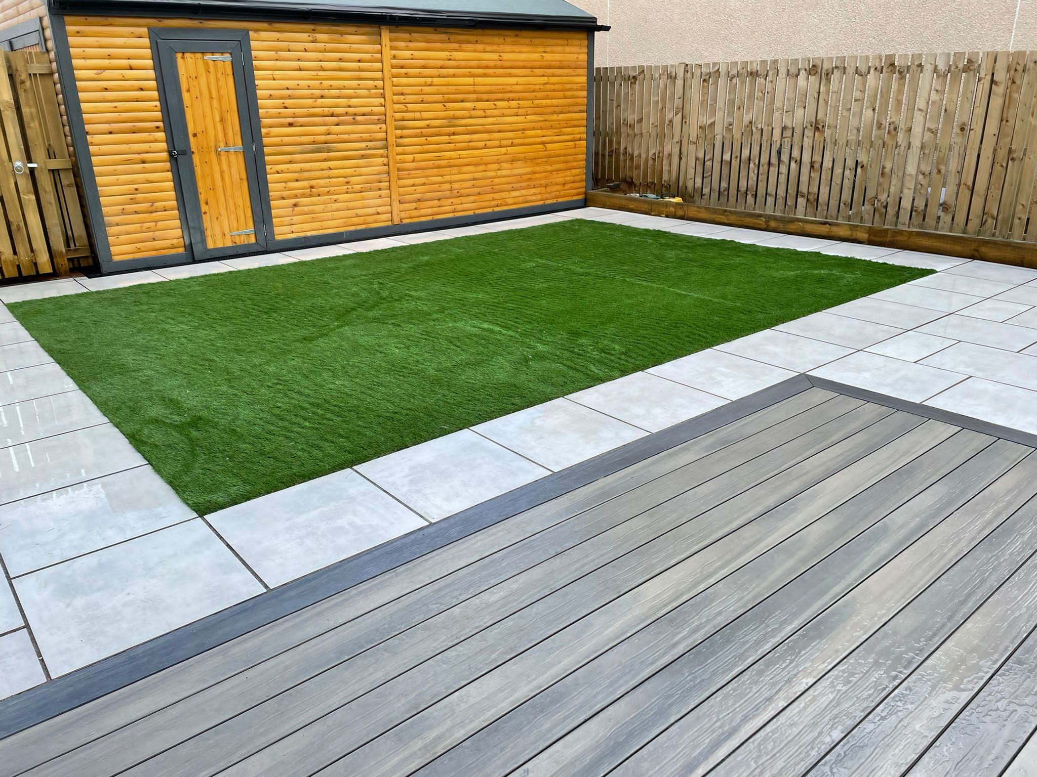
Hard & Soft Landscaping
Driveways | Sleeper Retainers | Patios
Block Paving
Monoblock Multiblock Pathways

Artificial Grass
Preparation Supply Install Maintain